Proposed Relocation of Dover (OH) 3rd St. Train Station
Maps:
USGS map of Dover. The drawn-in black lines and letters "C" and "F" show the current and potential future locations of the station respectively.
Routes:
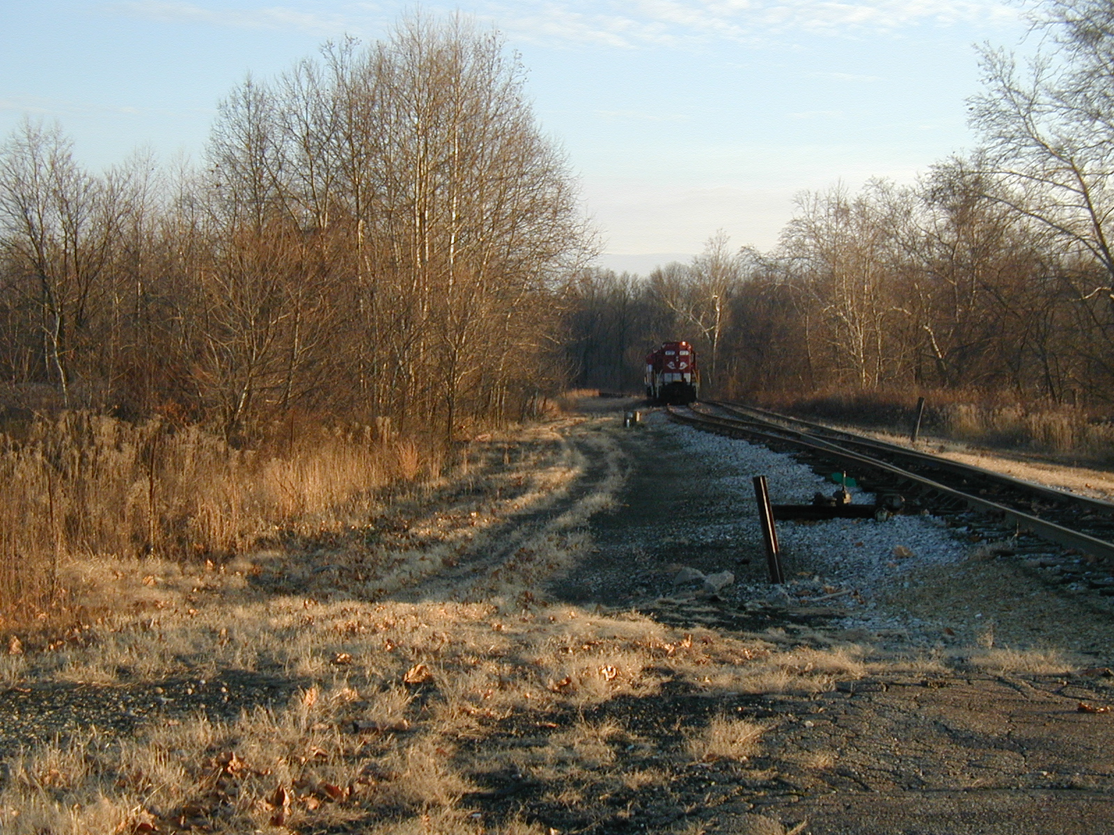
Referring to the USGS map of Dover, the station could be moved via one of these three routes:
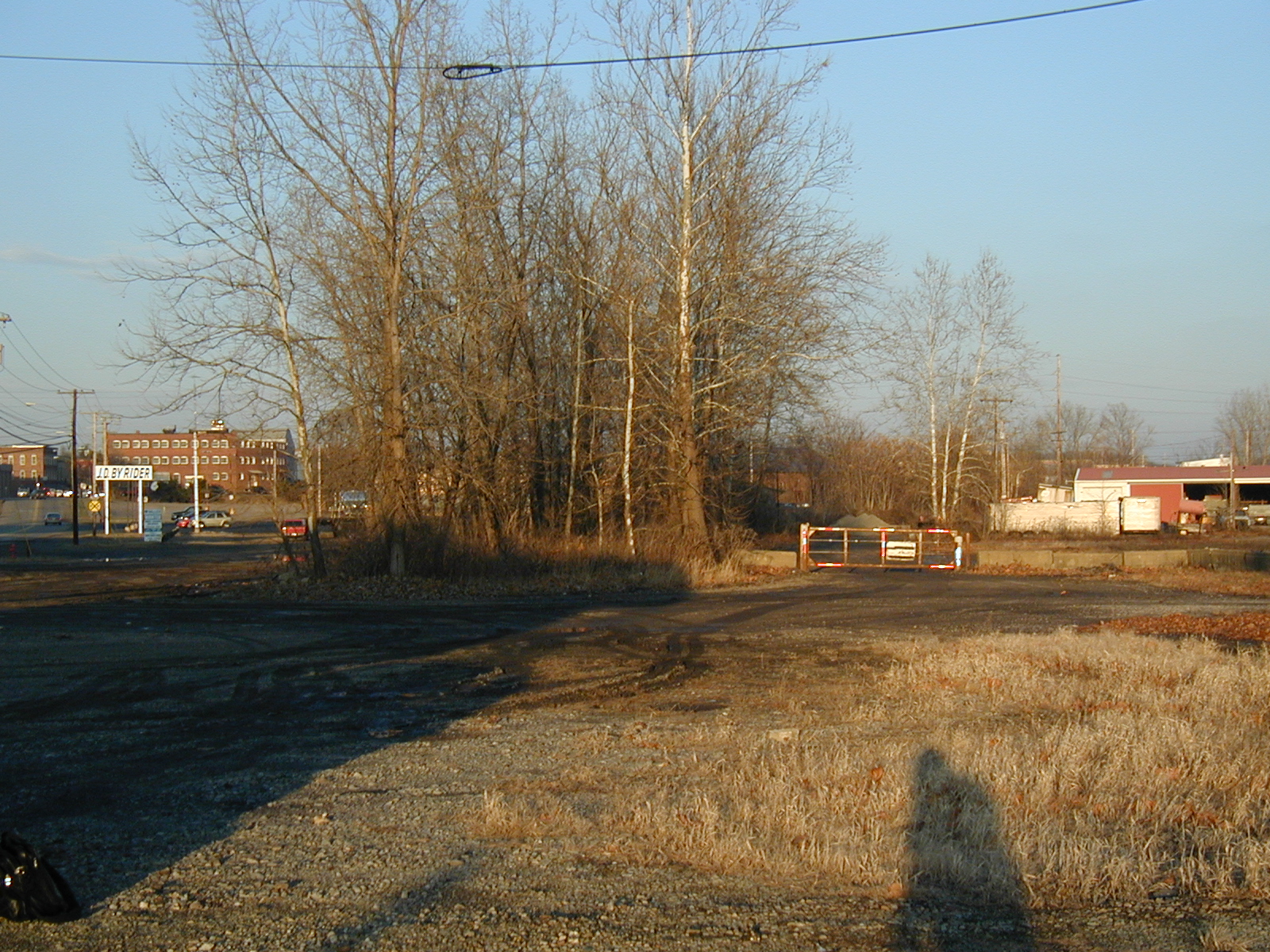
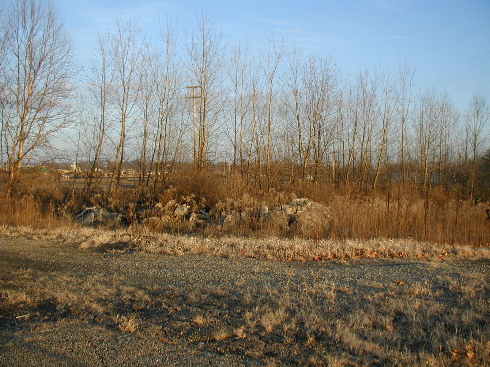
Destination Site:
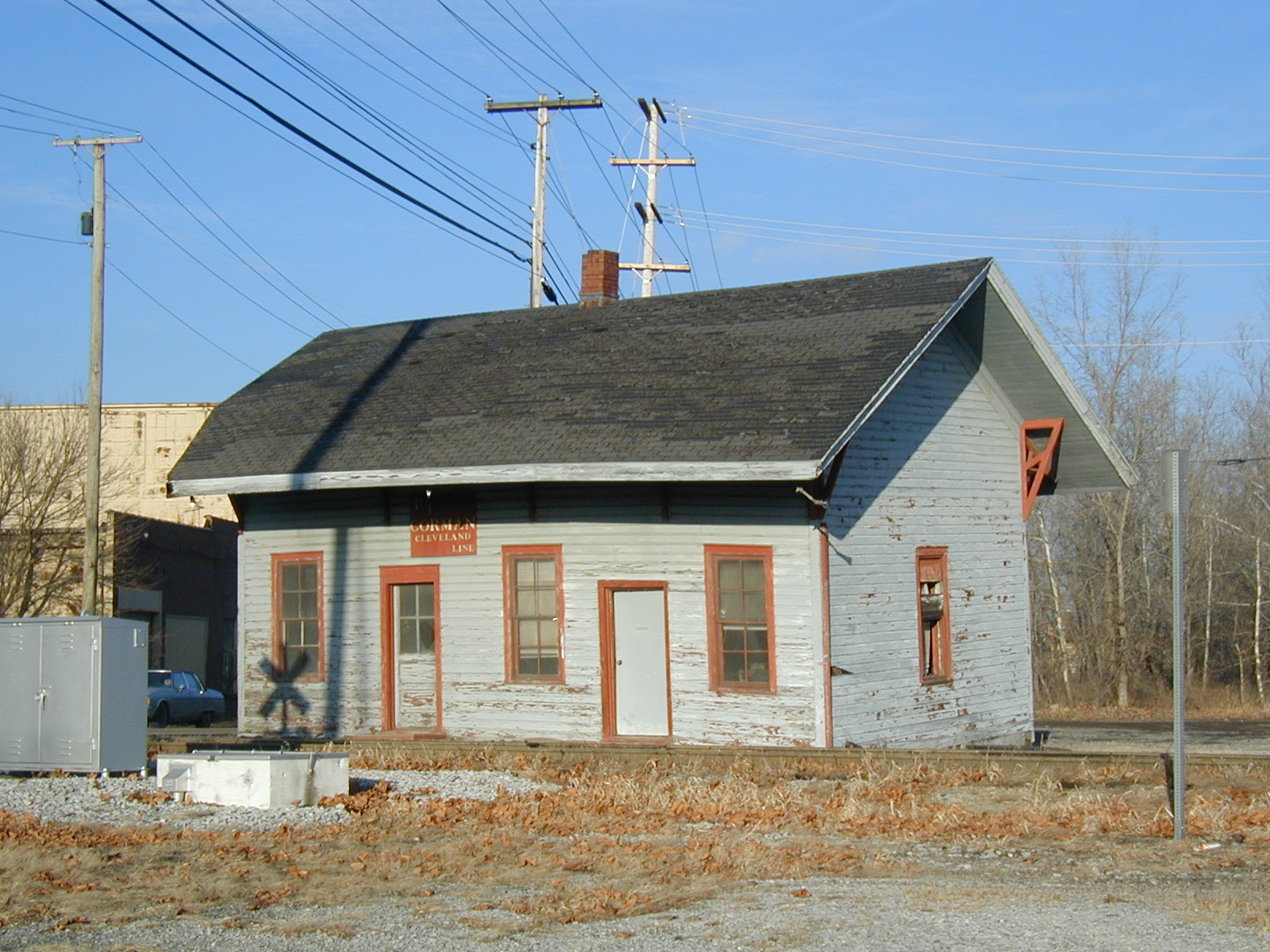
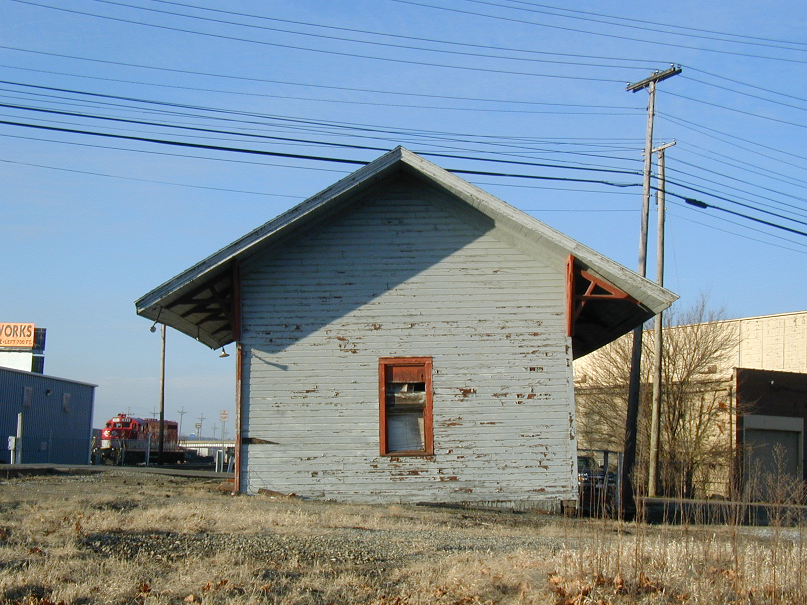
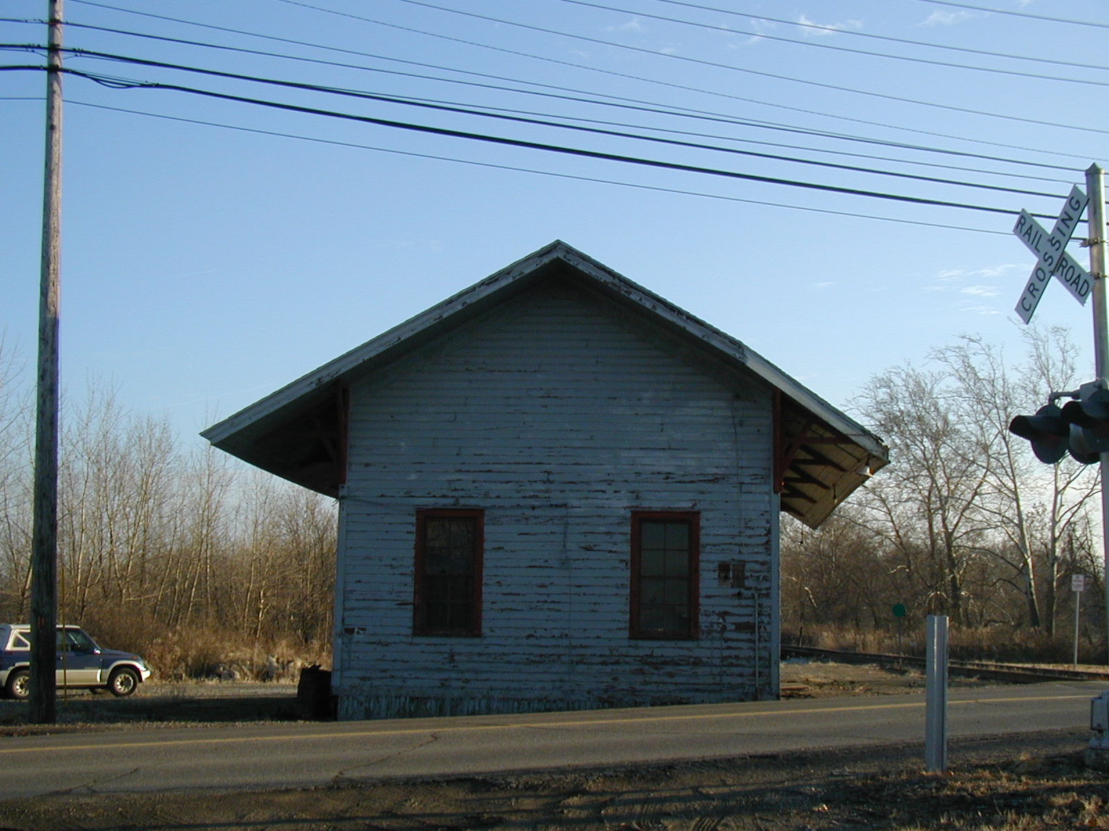
Former PRR Dover station at the destination site
Documents:
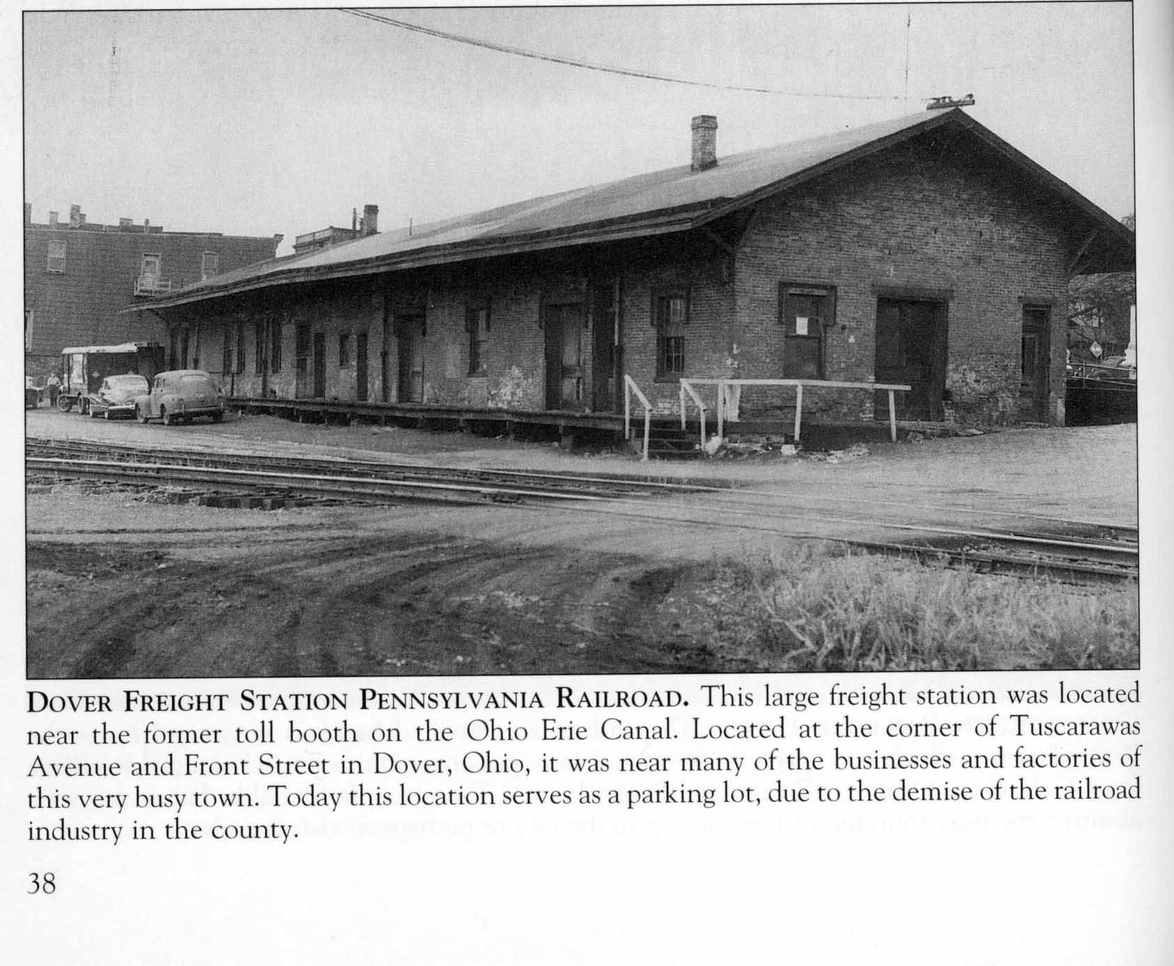
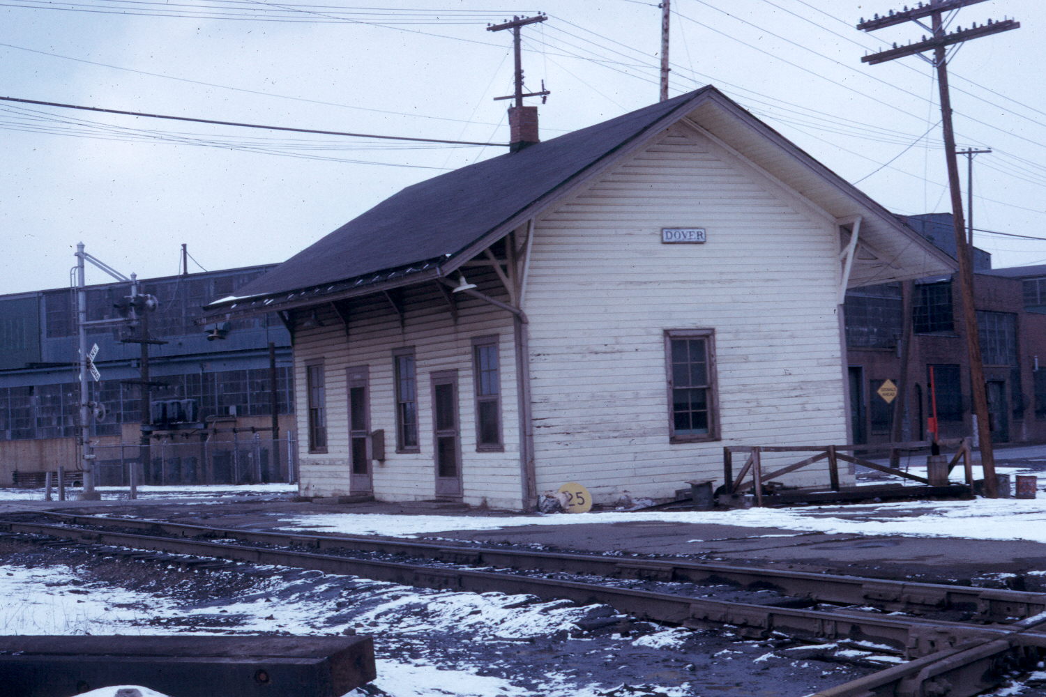
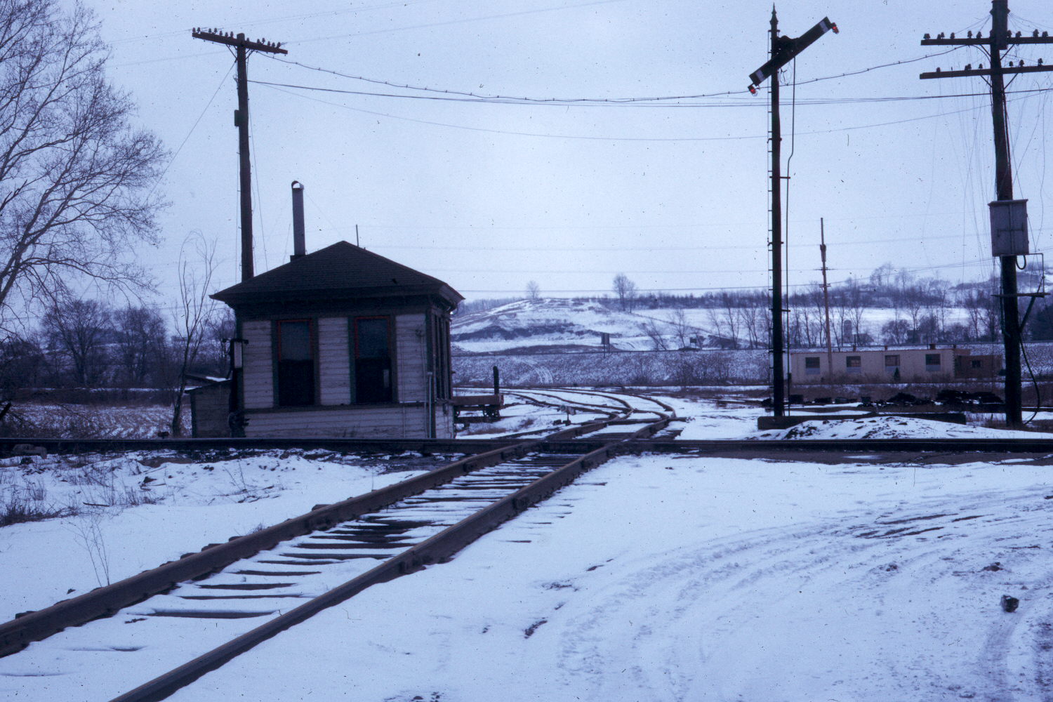
Station Photos:
Nearby telegraph office (now located at Warthers Museum).
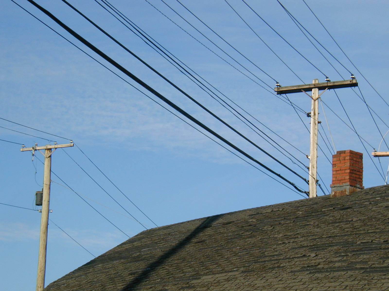
Wireline utilities above roof and chimney detail.
Looking west showing area between 3rd St. and building.
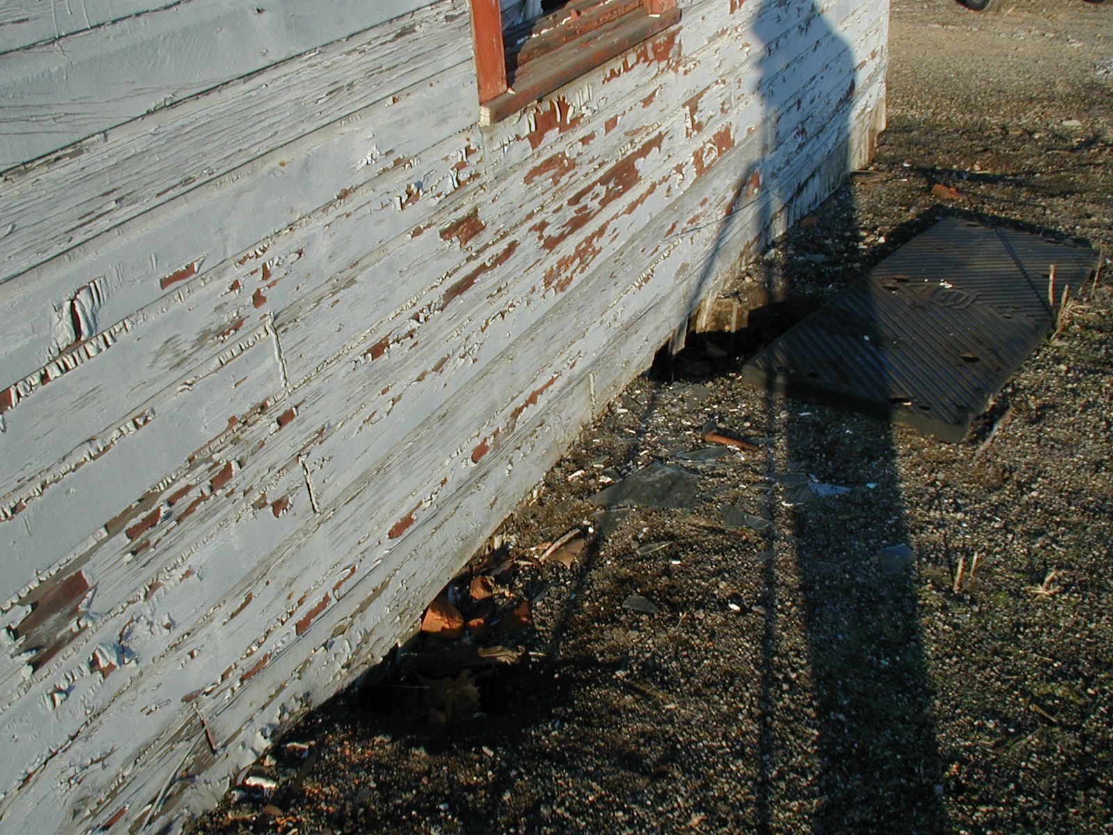
Looking south showing area between track and building.
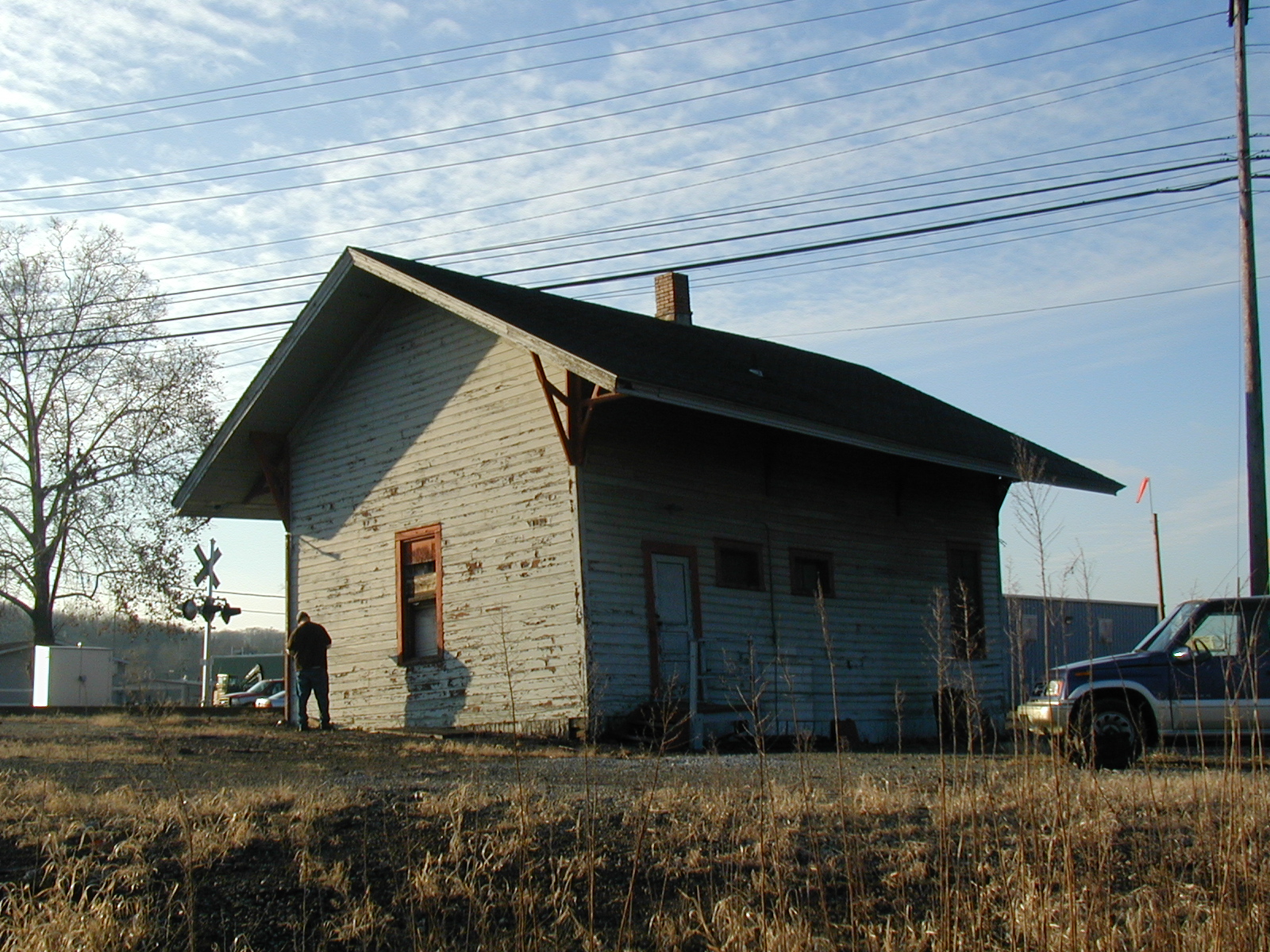
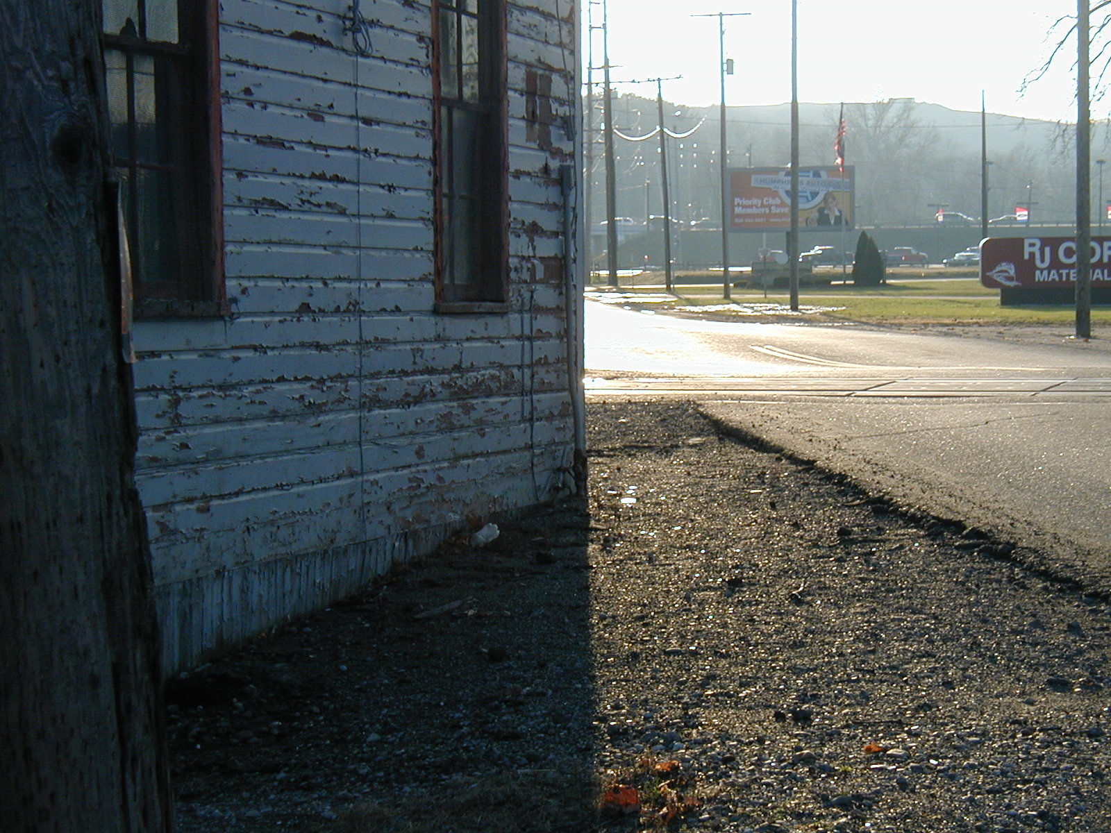
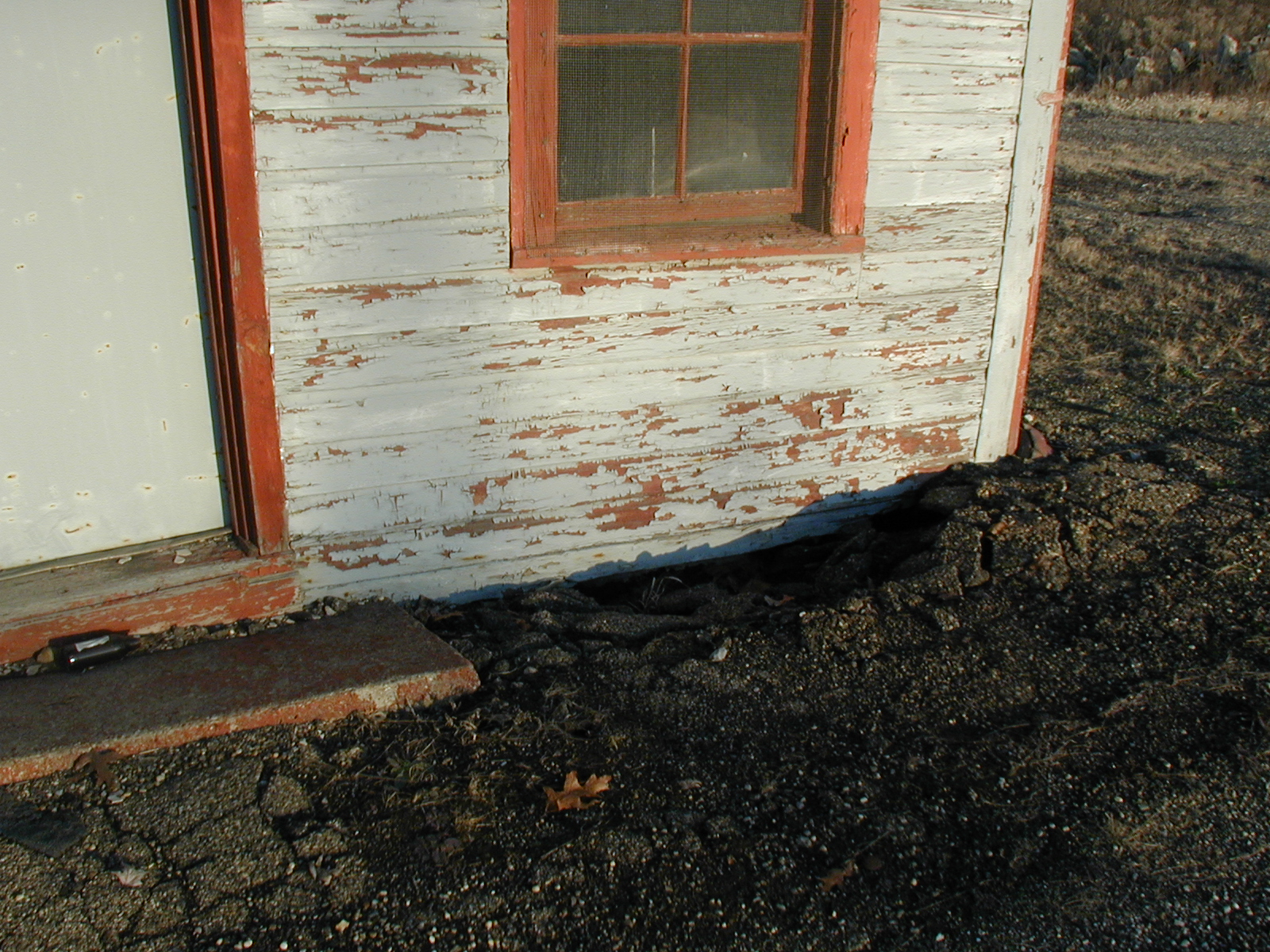
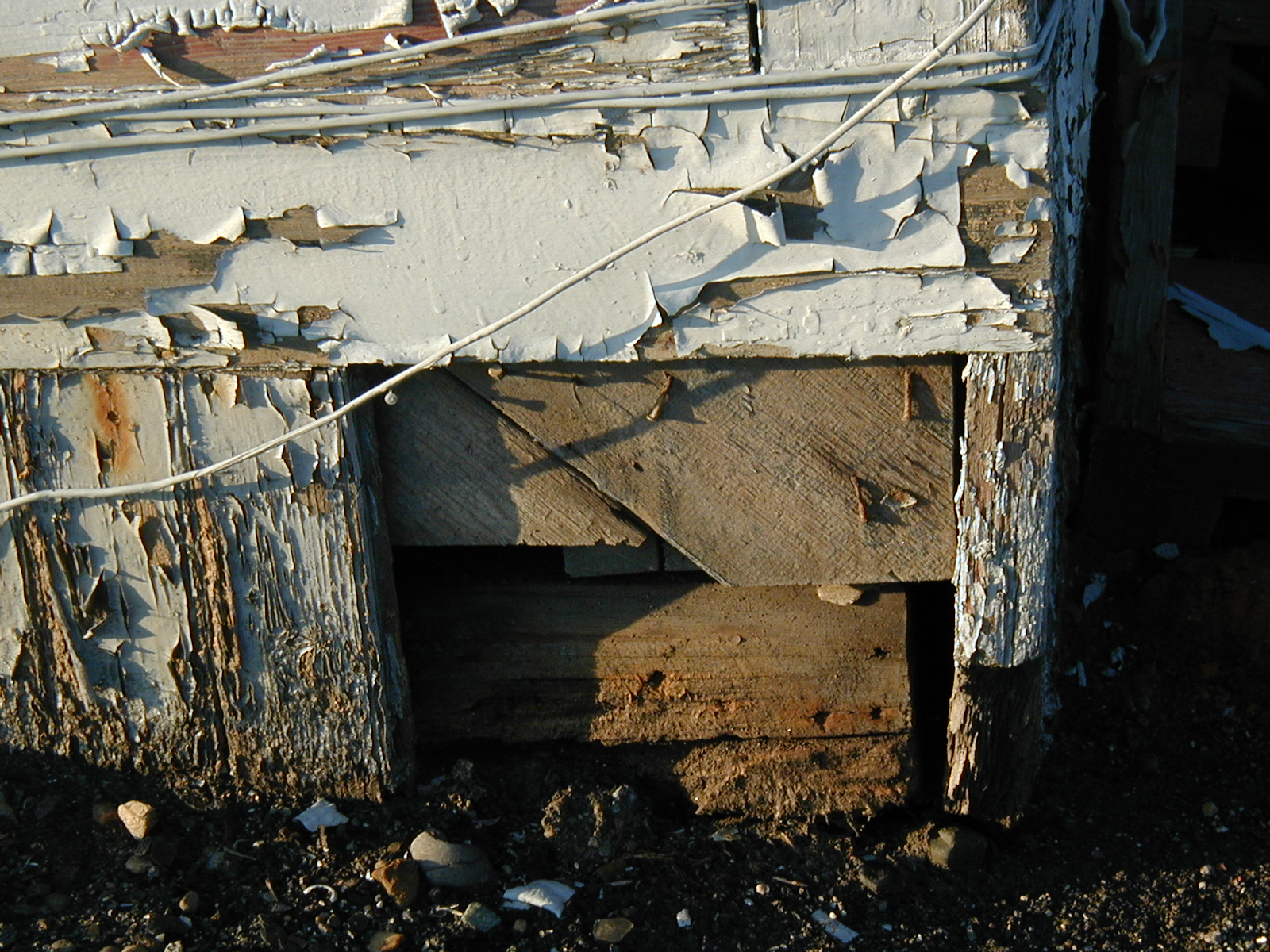
Southwest corner of building. Blocked drainage has undermined support post causing building corder to slant.
4' distance between 3rd St. to building. Yellow spraypaint is in vicinity on same side of the street, and building has had gas service.
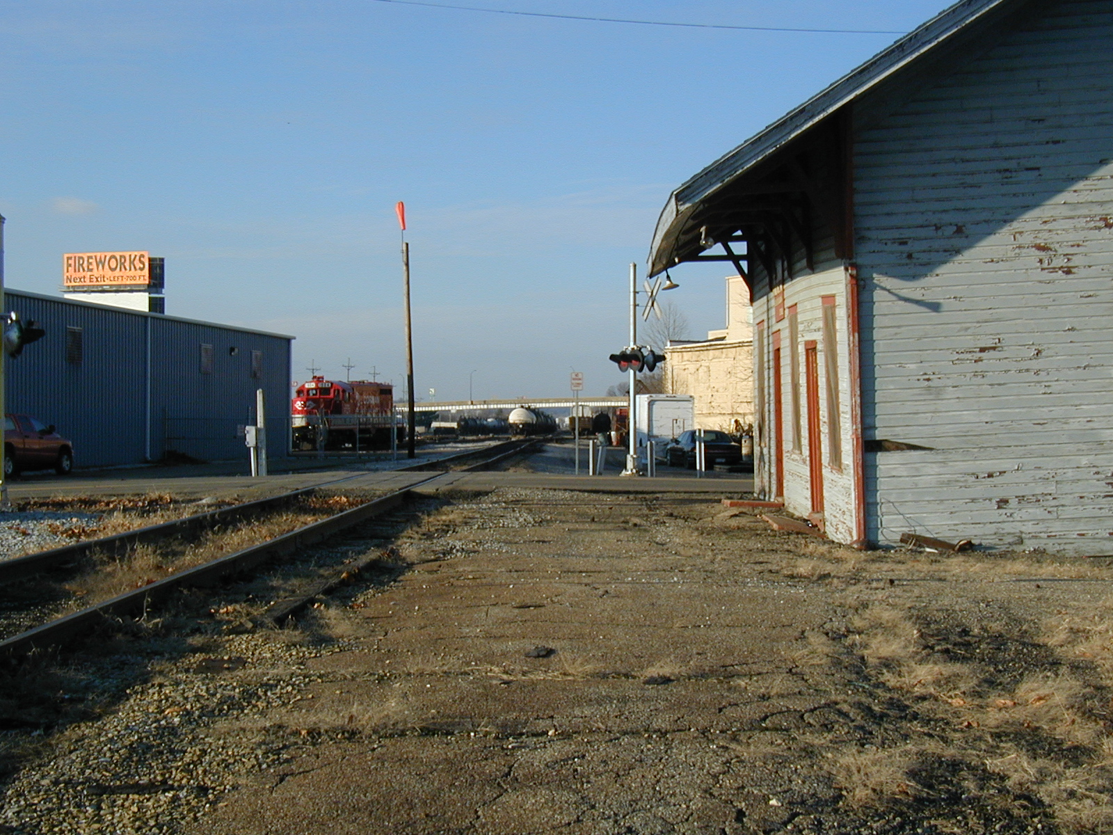
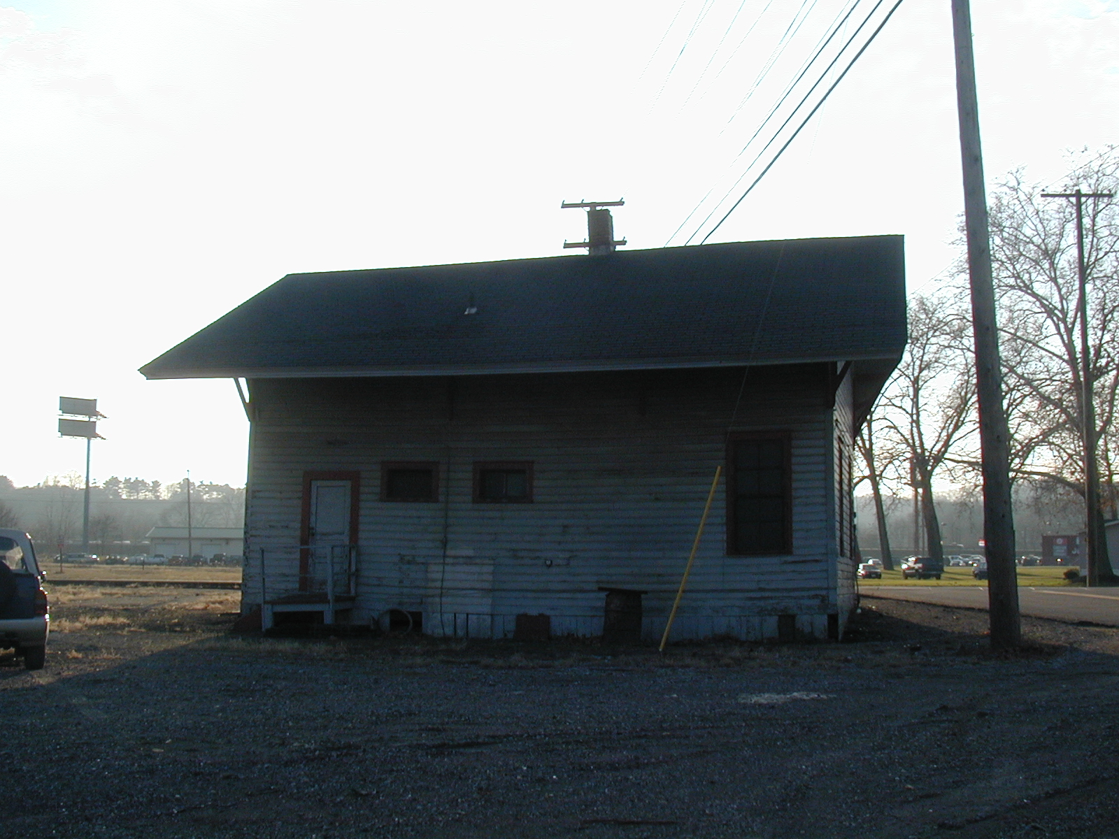
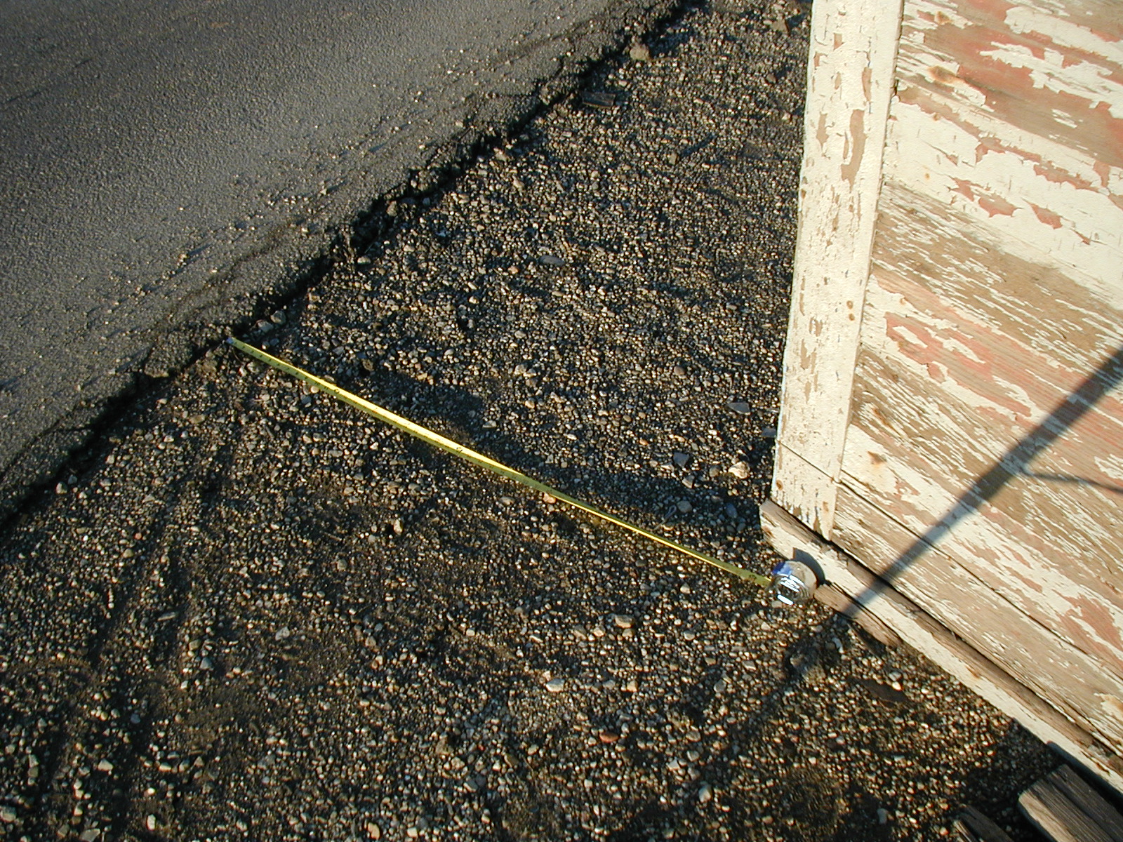
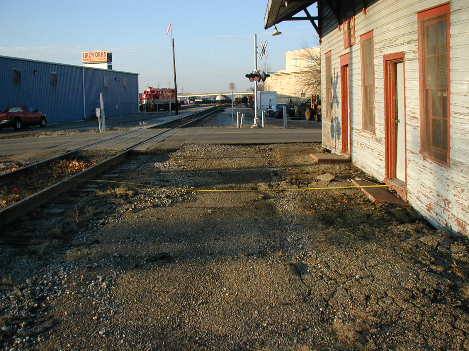
Looking north. Note distance from center of track to building front is 21'; edge of ties to building front is 16'. Railroad is OK with excavation up to roof dripline or so.
Looking east at area adjacent to 3rd St.
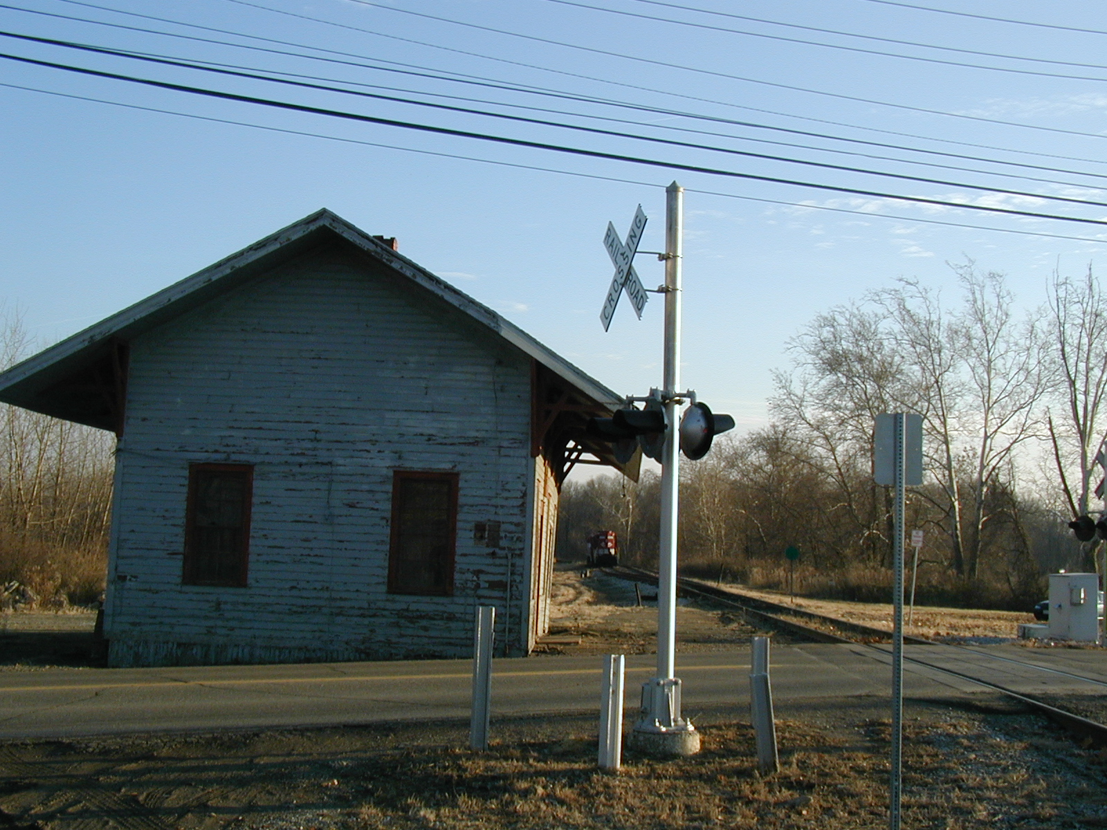
Looking south at area adjacent to railroad. Note the downward slope that the railroad has no problem with being filled in and better leveled if need be.
Looking southeast. Note the downward slope that the railroad has no problem with being filled in and better leveled if need be.
Links:
Ohio Utilities Protection Service http://www.oups.org
Contacts:
Darrell Priddy
Regional Manager
RJ Corman RR Co.
475 W. 3rd St.
Dover, OH 44622
(330) 602-7847
http://www.rjcorman.com
dwpriddy@rjcorman.com
Daniel Van Epps
710 Gibbs Lane
Dover, OH 44622
(330) 364-5627
dlve@wifi7.com
dlve@cstvcic.org